A federal clerk's
error put more than 90,000 acres of Yakama Nation land in the hands of
Washington state. Because of forced treaties and a clerical error, Yakama
reservation is over a million acres — but not all of it belongs to the tribe. Grist >

It
was barely a choice. In 1855, a time when the ink of border lines on United
States maps had scarcely dried, Yakama Chief Kamiakin (left) was told to sign over the
land of 14 tribal nations and bands in the Pacific Northwest — or face the
prospect of walking “knee deep” in the blood of his people.
Legend
has it that, when he put pen to paper, he was so furious he bit through his
lip.
By
signing, he ceded
over 10 million acres across what is now known as Washington state. In return,
the Yakama Nation was allowed to live on a reservation one-tenth the size of
their ancestral lands, about 100 miles southeast of Seattle.
But
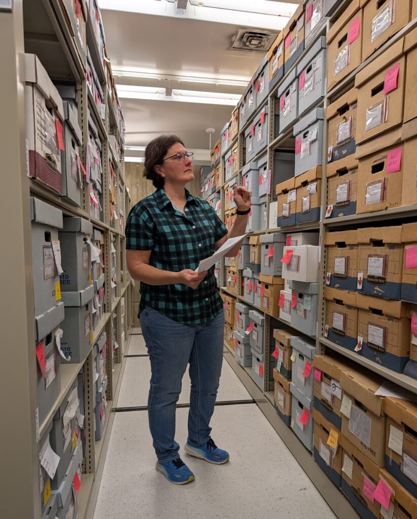
the story doesn’t end there. The treaty map was lost for close to 75 years,
misfiled by a federal clerk who put it under “M” for Montana.
With
no visual record to contradict them, federal agents extracted even more Yakama
land for the nascent state, drawing new boundaries on new maps. One removed an
additional 140,000 acres from the reservation, another about half a million,
and still other versions exist.
By
the time the original map was discovered in the 1930s, it was too late. Settlers had already made claims well within reservation boundaries, carving
the consequences of this mistake into the contours of the land. Non-Native
landowners remain to this day.
The
Yakama want that land back. Most tribal members know the story of Kamiakin and
his bloodied lip when he signed the treaty. Ask Phil Rigdon, a Yakama citizen
and nationally recognized forester. As the superintendent of the Yakama Nation
Department of Natural Resources, he deals with a medley of issues, but his most
important work is getting the reservation land back. After working on this for
nearly 20 years, he knows that it takes time and an entire community to make
the progress they want.
“It’s a family thing for us, as we do this
business,” he said.
Pahto, also known as
Mount Adams, looms over the western edge of the Yakama reservation. In 1972,
President Richard Nixon signed an executive order acknowledging that the
mountain had been mistakenly excluded from the reservation.
Maria Parazo Rose / Grist #LANDBACK 🗺
LONG READ: https://grist.org/indigenous/state-trust-lands-yakama-nation-washington/?_bhlid=c017f67204d03a1055422b042c785be71d5dfa0e













 Posts
Posts

